Grid Monitoring Pilot

Black filled circle on a white background.
Introduction
Black filled circle on a white background.
Library

Explore more related content

Date released

Topographic terrain map showing dense green forests and rugged mountain ridges with valleys in between.Black arrow pointing diagonally upward to the right inside a white circle.

Importer and Exporter

Category

See Content

Date released

Topographic terrain map showing dense green forests and rugged mountain ridges with valleys in between.Black arrow pointing diagonally upward to the right inside a white circle.

Importer and Exporter

Category

See Content

Date released

Topographic terrain map showing dense green forests and rugged mountain ridges with valleys in between.Black arrow pointing diagonally upward to the right inside a white circle.

Importer and Exporter

Category

See Content

Date released

Topographic terrain map showing dense green forests and rugged mountain ridges with valleys in between.Black arrow pointing diagonally upward to the right inside a white circle.

Importer and Exporter

Category

See Content
Black filled circle on a white background.
The Case
Black filled circle on a white background.
The Client Quote
Black filled circle on a white background.
Library

Explore more related content

Date released

Topographic terrain map showing dense green forests and rugged mountain ridges with valleys in between.Black arrow pointing diagonally upward to the right inside a white circle.

Importer and Exporter

Category

See Content

Date released

Topographic terrain map showing dense green forests and rugged mountain ridges with valleys in between.Black arrow pointing diagonally upward to the right inside a white circle.

Importer and Exporter

Category

See Content

Date released

Topographic terrain map showing dense green forests and rugged mountain ridges with valleys in between.Black arrow pointing diagonally upward to the right inside a white circle.

Importer and Exporter

Category

See Content

Date released

Topographic terrain map showing dense green forests and rugged mountain ridges with valleys in between.Black arrow pointing diagonally upward to the right inside a white circle.

Importer and Exporter

Category

See Content
Thank you! Your submission has been received!
Oops! Something went wrong while submitting the form.

Ready to see Orbify in action ?

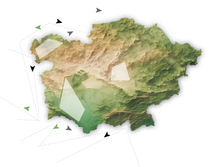
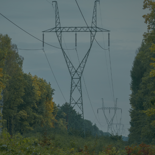
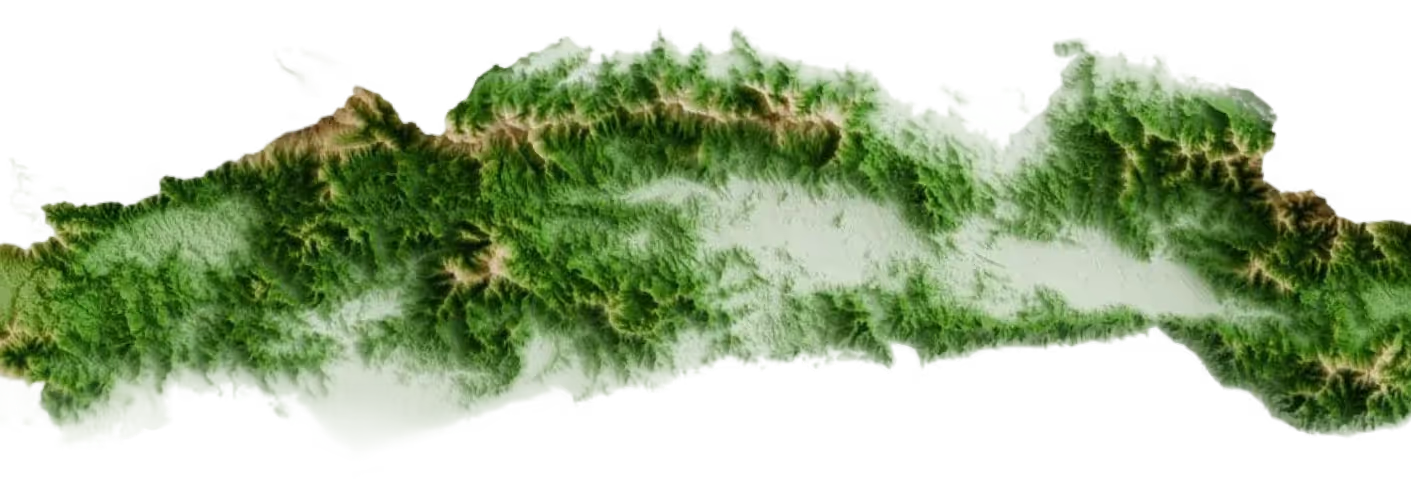
Orbify monitors vegetation threats, climate risks, and infrastructure changes across your entire network — so you can prevent outages, optimize maintenance, and stay compliant.

Start with a 4-week pilot on your priority corridors. No enterprise contracts. No multi-month implementations. Just results you can verify against field data.

Topographic 3D map of Uzbekistan showing elevations with shaded relief and location pointers for Tashkent, Namangan, Samarkand, Bukhara, and Karshi.