Take a self guided tour of the platform and discover how satellite intelligence can transform your decisions.

- Automate monitoring & reporting
- Generate certification-ready baselines
- Predict fleet arrivals & market shifts
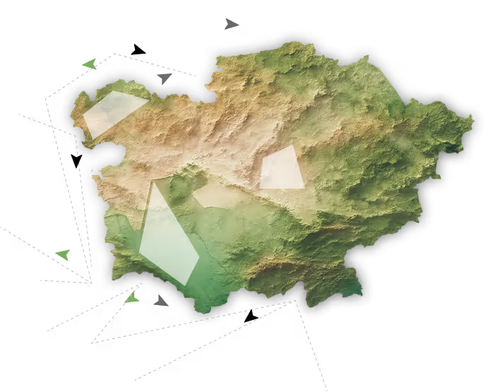
Orbify monitors vegetation threats, climate risks, and infrastructure changes across your entire network — so you can prevent outages, optimize maintenance, and stay compliant.
Start with a 4-week pilot on your priority corridors. No enterprise contracts. No multi-month implementations. Just results you can verify against field data.
.avif)

.avif)

.avif)
.avif)

.avif)

.avif)