

.png)

.png)

Four things stand between you and a filed statement. Orbify does all four.
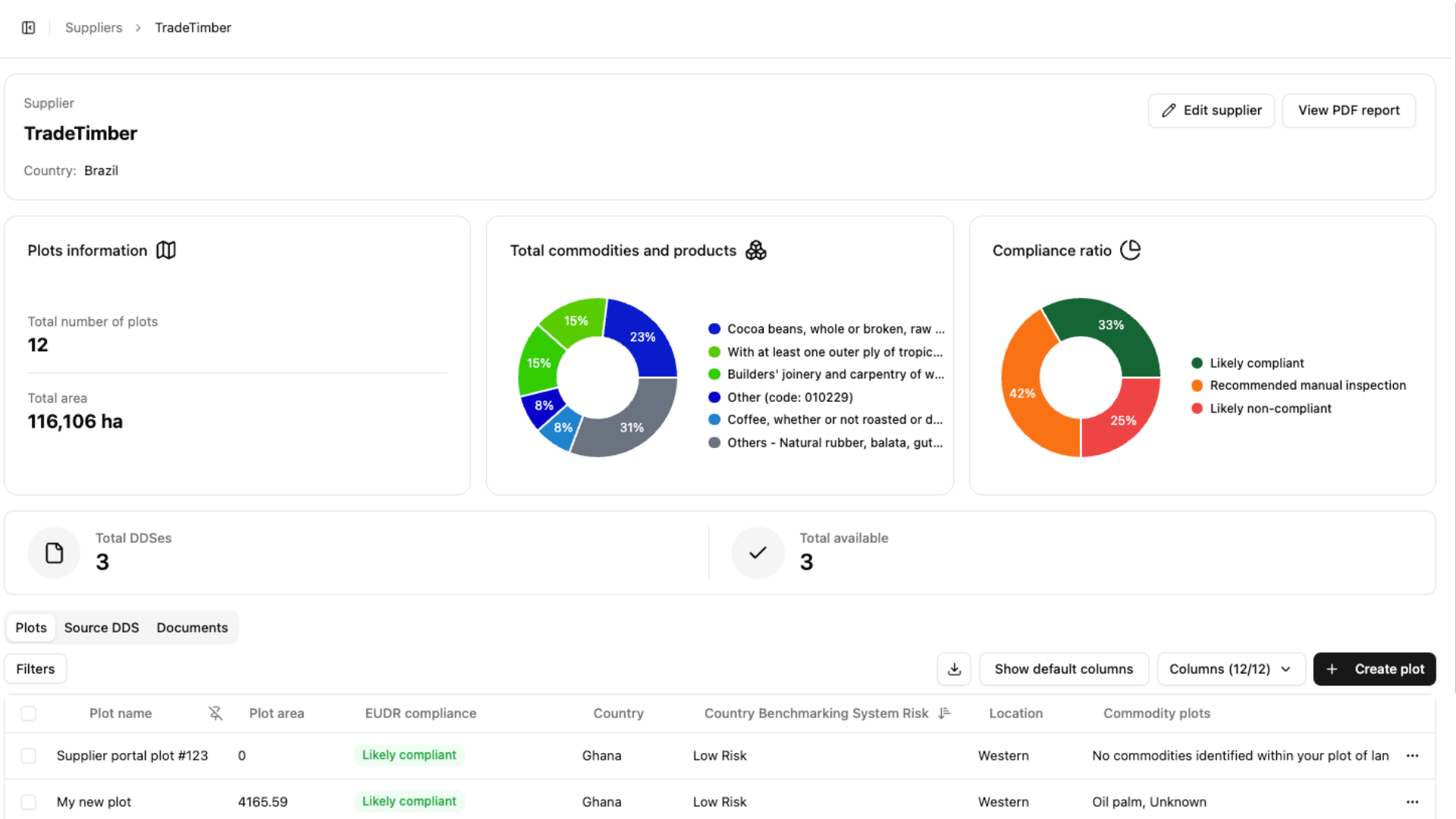
Suppliers submit their plots through a secure link. No account, no GIS software, no training.
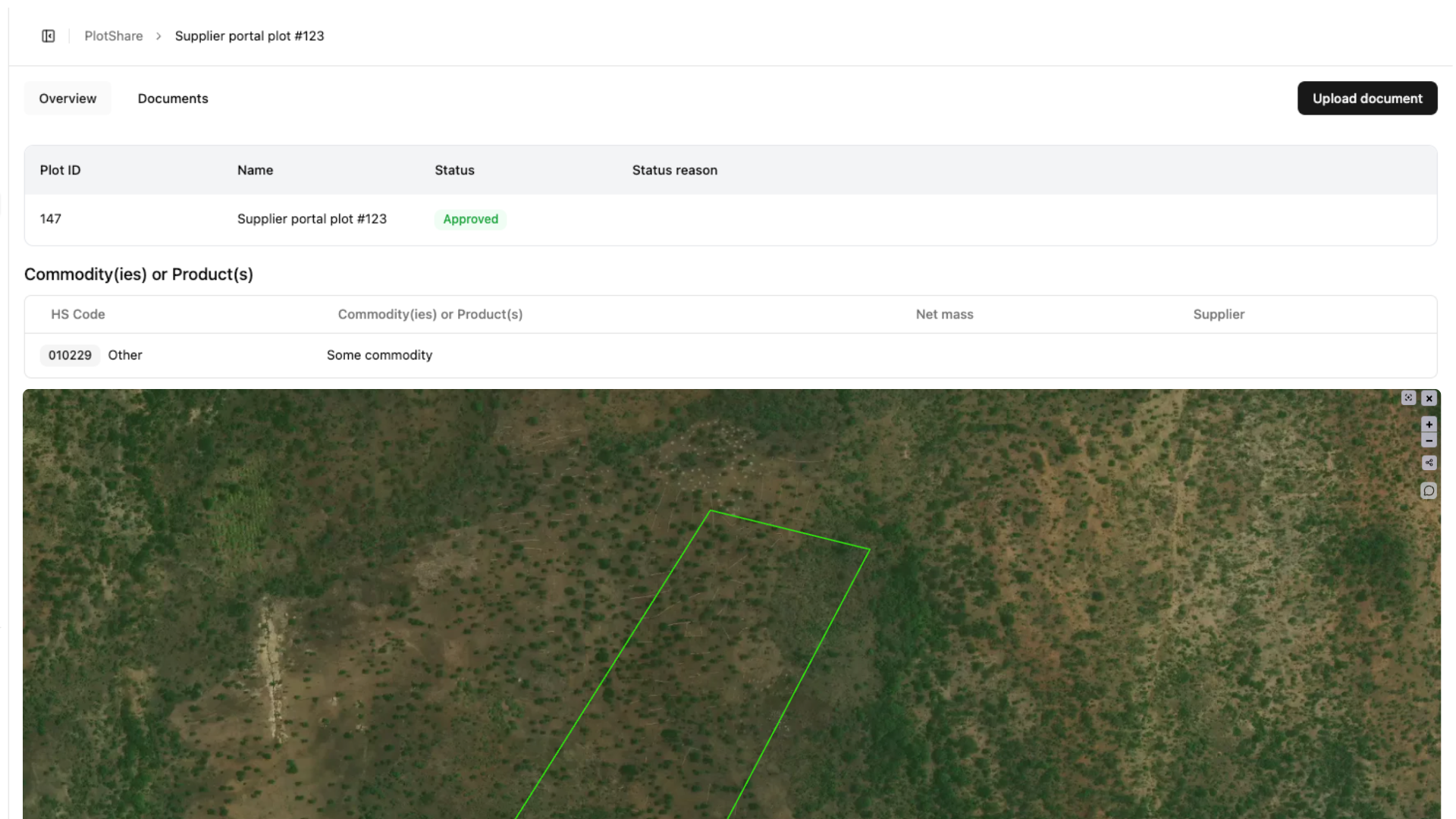
Geometry and format errors surface at collection, not when TRACES rejects your file.
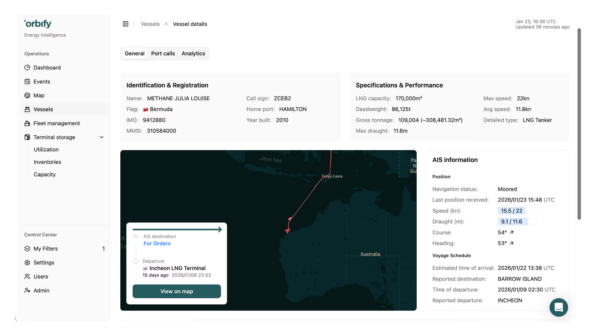
Run custom-configured automated diversion detection 24/7. Set up automated notifications on events and vessel movements in minutes.
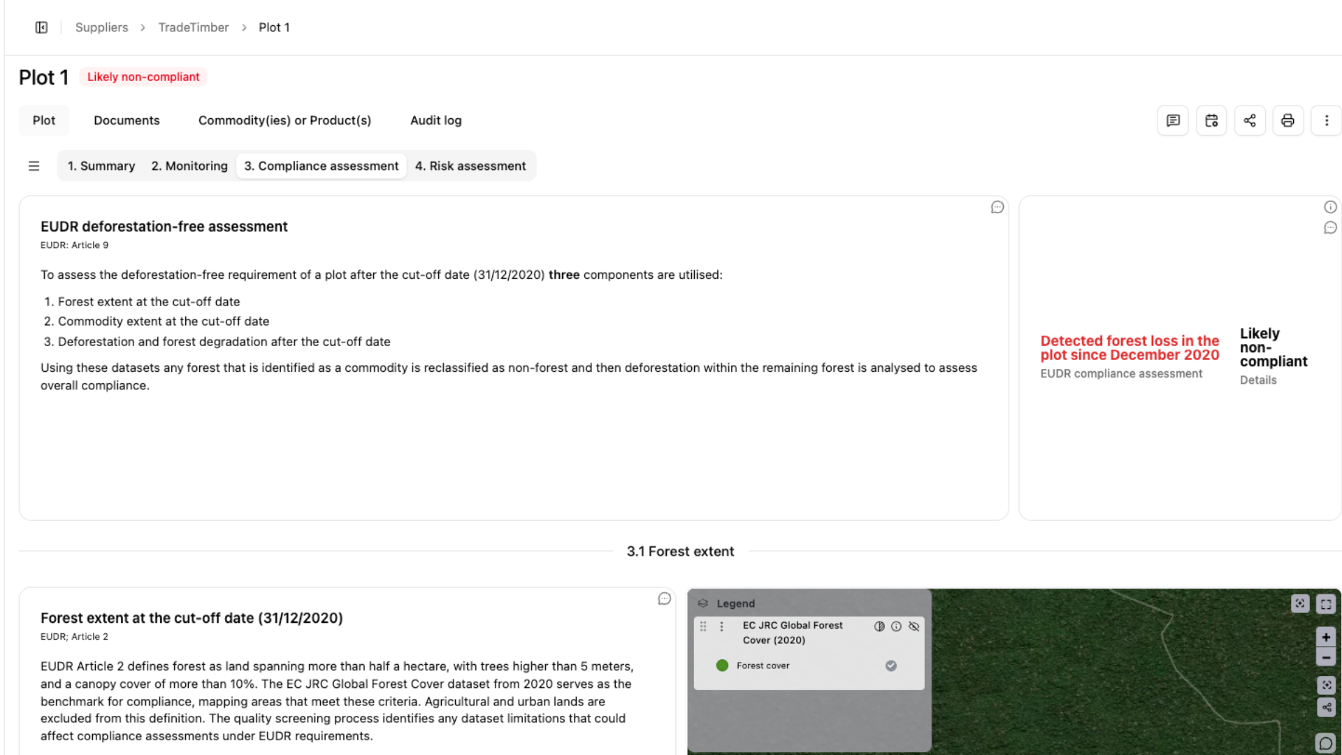
Every plot screened against Sentinel-2 and radar imagery for clearance after 31 December 2020.
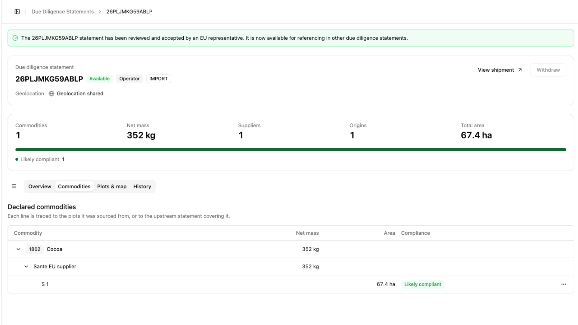
Coordinates pre-filled, EORI entered once, statement submitted through the EU's API.


Large and medium companies, and traders and downstream operators.
Micro and small operators, if established as such by 31 December 2024 and your products aren't covered by the earlier timber rules.
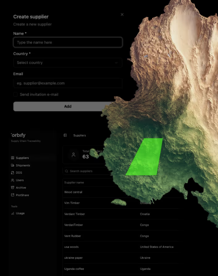
Upload your supplier list and send secure links. Minutes, not weeks.
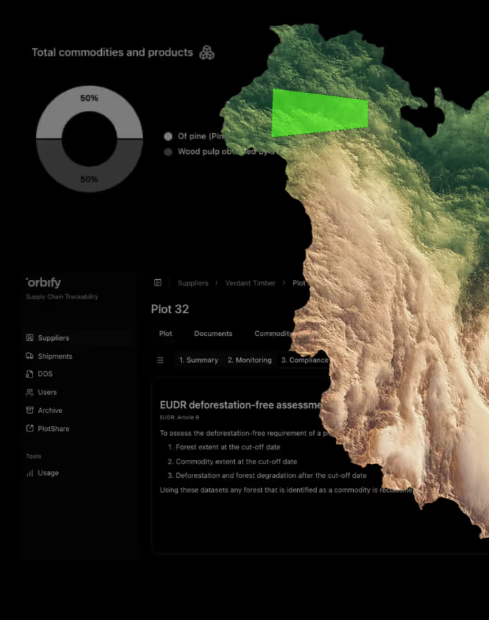
Coordinates validated, every plot screened against satellite records.
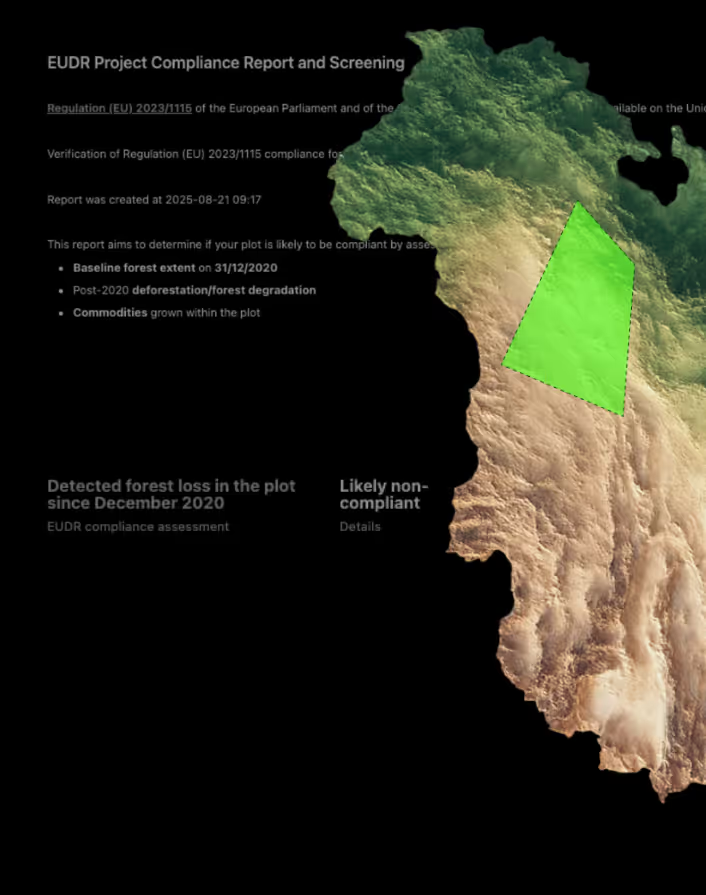
The statement goes to TRACES. Reference numbers stay in the platform.


.png)
When the EUDR was introduced, West Fraser expanded its established due diligence systems to meet the new requirements. Unlike EUTR that primarily focused on legal aspects such as country and species origin, the EUDR set more stringent criteria, requiring businesses to provide detailed forest-level tracking and assessments.
After evaluating a number of service providers, West Fraser selected Orbify due to its ability to offer a flexible and hybrid solution that fit perfectly with their needs. Orbify stood out by providing a system that was not only customizable but could also integrate into the existing supplier portal West Fraser had developed.

.png)
The state of deforestation globally remains a critical environmental issue. The World Resource Institute reports that in 2023, the world lost almost 10 football fields of tropical primary forest every single minute, equating to 3.7 million hectares over the year. While iov42's technology can be applied to multiple sectors, they are currently focusing on supporting operators in Europe and producer nations to meet deforestation regulations.
Interu - built by iov42 is a powerful enabler to help companies reach compliance, among other benefits. However, combining best-of-breed solutions is vital to creating strong ecosystems of trusted partners that will help combat deforestation and improve due diligence.
As the countdown to the EUDR gets closer, the number of ‘EUDR product’ providers has boomed. According to the iov42 team, Orbify stood out among the competition for several reasons, particularly considering users’ needs for deforestation and land degradation analysis at the point of harvest.


A step-by-step guide for procurement, legal, and sustainability teams to prepare for the EU’s deforestation regulation.
This guide provides clarity and practical steps to accelerate compliance.
- Understand the full scope of EUDR requirements.
- Identify who in your organization is responsible.
- Learn how to assess supplier deforestation risks.
- Step-by-step framework for due diligence reporting.
- Tools and templates to speed up compliance
.png)
No. Size changes when your obligations start and, in some roles, how much you do, never whether EUDR applies.
If you import it or produce it in the EU, you're an operator. If you buy it already on the EU market and sell it on, you're a trader. The assessment confirms it.
No. Plots are screened automatically and you see a result, not imagery to interpret.
Orbify submits it. Plot IDs and coordinates are pre-filled from your monitoring data, you enter your EORI number once, and the DDS is filed to TRACES NT through the EU's API in a single action. The reference number and submission status are stored in the platform, so records stay in one place.
Yes. Orbify is API-first. Smaller teams integrate directly using the REST API and webhooks; enterprise deployments use a middleware path with pre-built workflows and data mapping. SAP and Microsoft Dynamics are both connected this way. Where a system integration is not warranted, spreadsheet import and export cover the same ground.
Sentinel-2 optical imagery at 10 metre resolution across 13 spectral bands, and Sentinel-1 C-band radar at 10 metres with a 12-day revisit, which sees through cloud. Landsat provides historical depth, and commercial imagery from providers such as Planet and Axelspace is added where higher frequency is needed. NASA's GEDI mission supplies canopy height.
Every plot of land where the commodity was produced must be geolocated. Plots under 4 hectares may be given as a single latitude and longitude point. Plots of 4 hectares or more must be submitted as polygons.
No. Suppliers receive a secure link and submit their plot geolocation through it. They do not create an account, install anything, or need GIS expertise. Data can be uploaded as GeoJSON, CSV or KML, or entered directly. Validation runs at the point of collection, so geometry and format errors surface before they reach your compliance file.
Yes. Downstream operators who transform or repackage goods must file their own DDS referencing upstream statements. Orbify validates upstream reference and verification numbers automatically rather than by manual lookup, generates the downstream DDS from them, and supports bulk creation for blended commodities such as cocoa blends or roasted coffee.
One call. We go through your products, your role and your suppliers, and tell you exactly what you have to do.