Partner with Orbify: EUDR Compliance, Already Built

Your clients are asking how to meet EUDR. Orbify is the platform you deliver it on:, plot data collection, satellite verification and TRACES filing

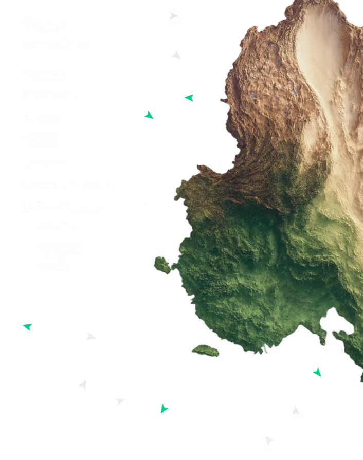
Topographic 3D map of Pakistan showing mountainous terrain, forests, and plains.
Black filled circle on a white background.
Why Orbify

Proven with compliance teams. Ready for yours

EUDR compliance needs Earth observation data, the geospatial layer to interpret it, and a live connection to TRACES. That's years of work, and it's the part you'd never recover the cost of
Shipping map showing the LNG vessel TESSALA's route from Arzew-Bethioua LNG Terminal to Dörtyol FSRU, with vessel details including speed, draught, course, and LNG capacity.

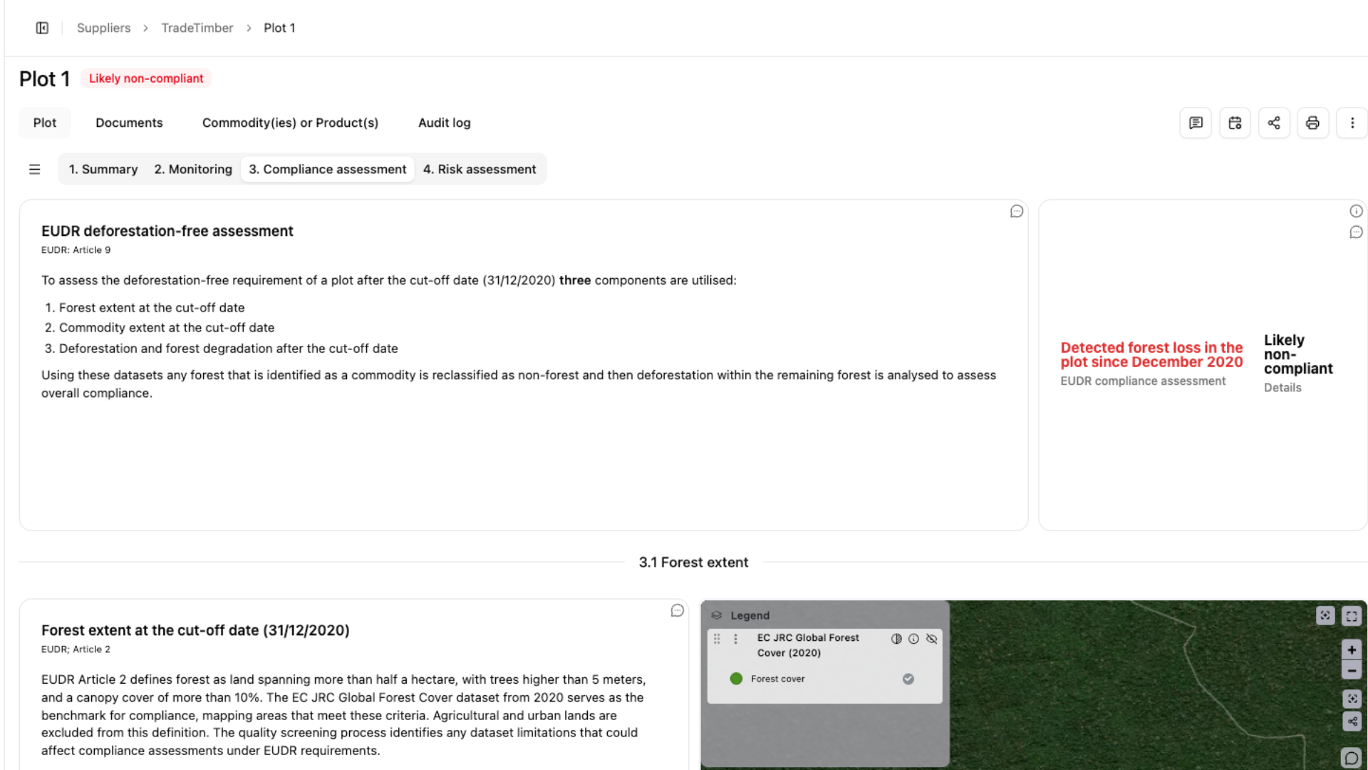
Plots and suppliers stay watched after filing, so a problem reaches your client before an inspector does.
World map showing numerous red, green, and blue triangular markers indicating locations across oceans and coastal regions.

Sentinel-2 optical and Sentinel-1 radar at 10 metres, with Landsat history and commercial imagery where higher frequency matters.
Orbify dashboard showing LNG data including laden vessels in transit (272), floating LNG volume (2,200,523 m³), laden vessels at terminals (36), and LNG in transit for next 14 days (29,792,638 m³) with a bar chart of imported LNG cargo from December 24, 2025 to February 6, 2026.

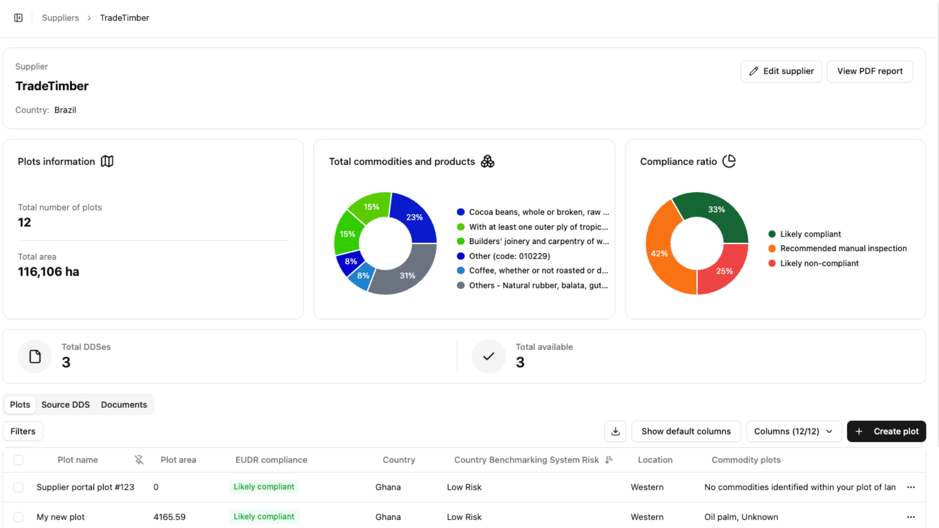
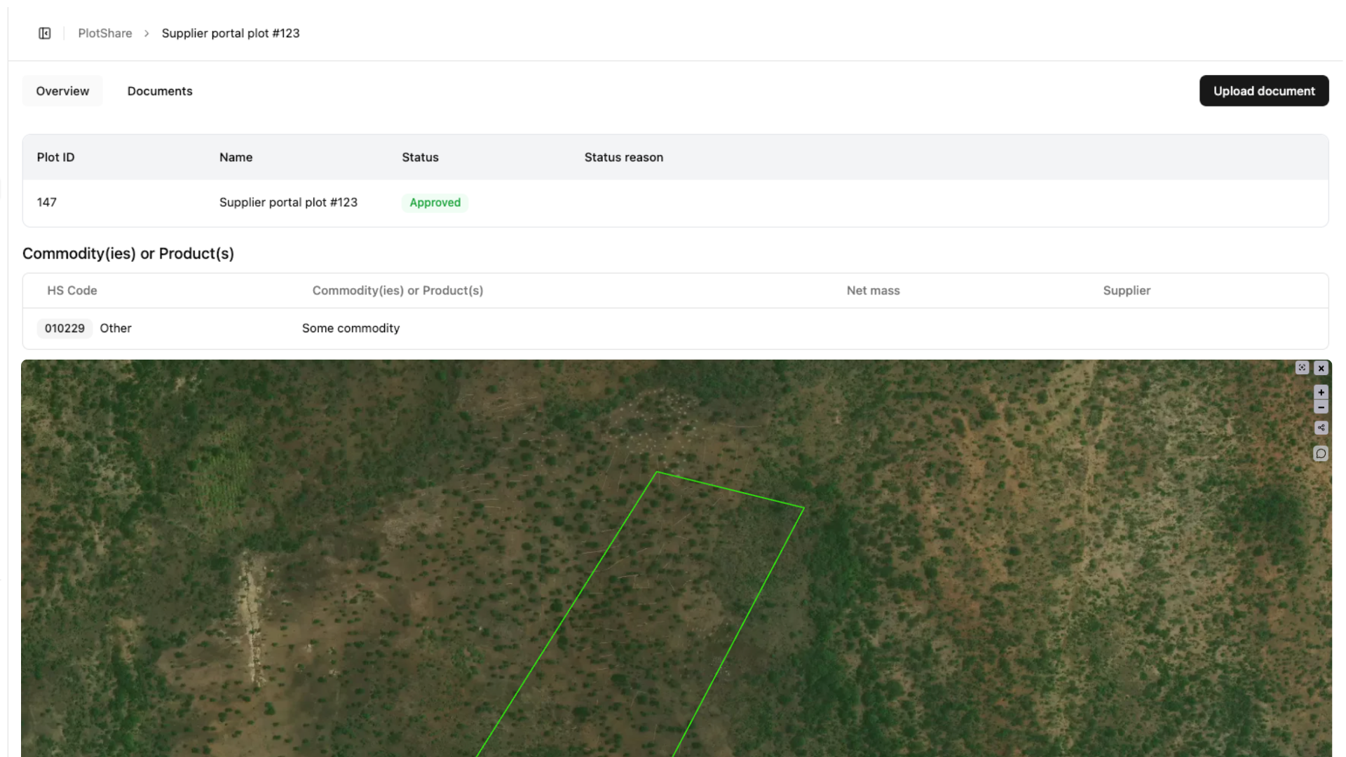
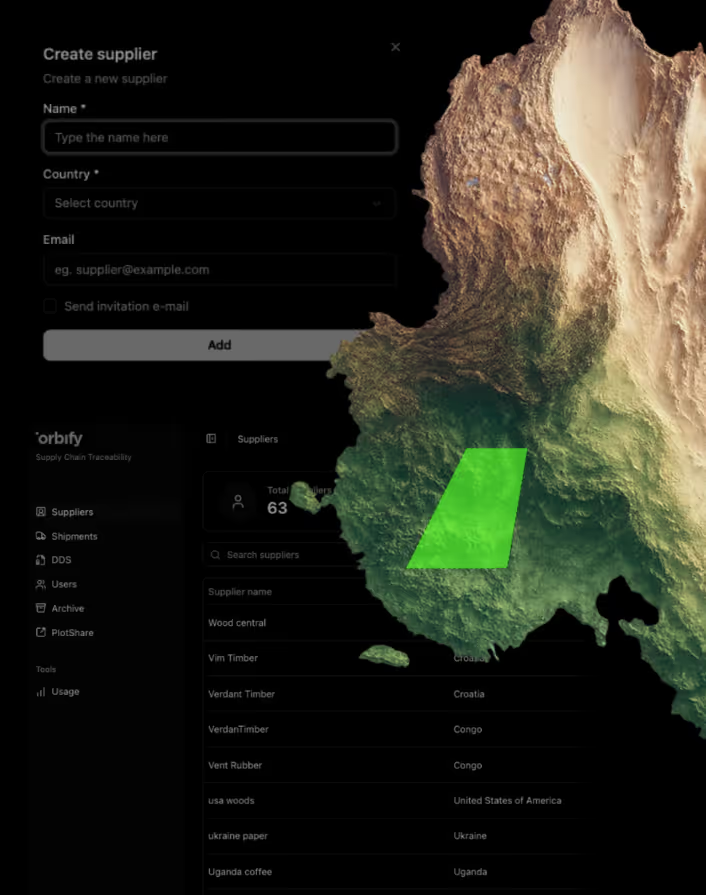
Your clients' suppliers submit plots through a secure link. No accounts, no GIS software.
User interface showing configuration options for alert notifications with a toggle switch for incident updates, a dropdown menu for frequency selection set to hourly, and Cancel and Save buttons, alongside a colored topographic map.

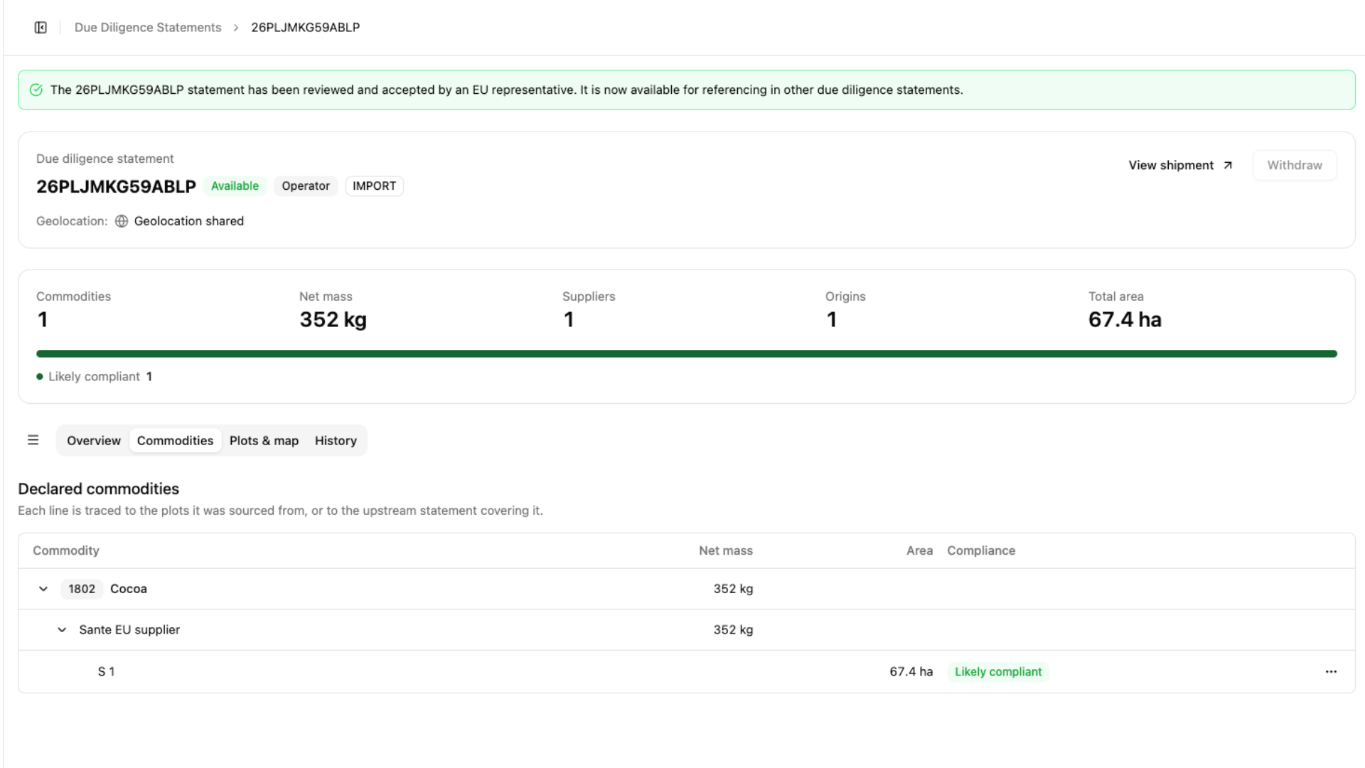
Statements submitted to TRACES through the EU's API, with reference numbers retained.

User interface showing configuration options for alert notifications with a toggle switch for incident updates, a dropdown menu for frequency selection set to hourly, and Cancel and Save buttons, alongside a colored topographic map.

REST API and webhooks, with SAP and Microsoft Dynamics via middleware. Use the platform as it is, or build it into your own.

Black filled circle on a white background.
The Comparison

How Orbify compares

Without Orbify
Your team chases suppliers for coordinates by email
You absorb the technical work, or subcontract it
Every new client costs more of your team's hours
You hand over a report; your client still has to file
"How do you know?" is a hard question to answer
The engagement ends when the report lands
Rigid tools with unnecessary features.
With Orbify
Suppliers submit through a link, and you see who's outstanding
The platform does the technical work; you keep the client relationship
Every new client is another workspace, not another hire
You hand over a filed statement
Every plot has the evidence attached
Monitoring keeps you in the relationship after filing
Modular platform, get only what you need
Talk to us
Black filled circle on a white background.
Your Offer

What your clients get

Supplier onboarding

by secure link, no software for your clients' suppliers to install

Every plot verified

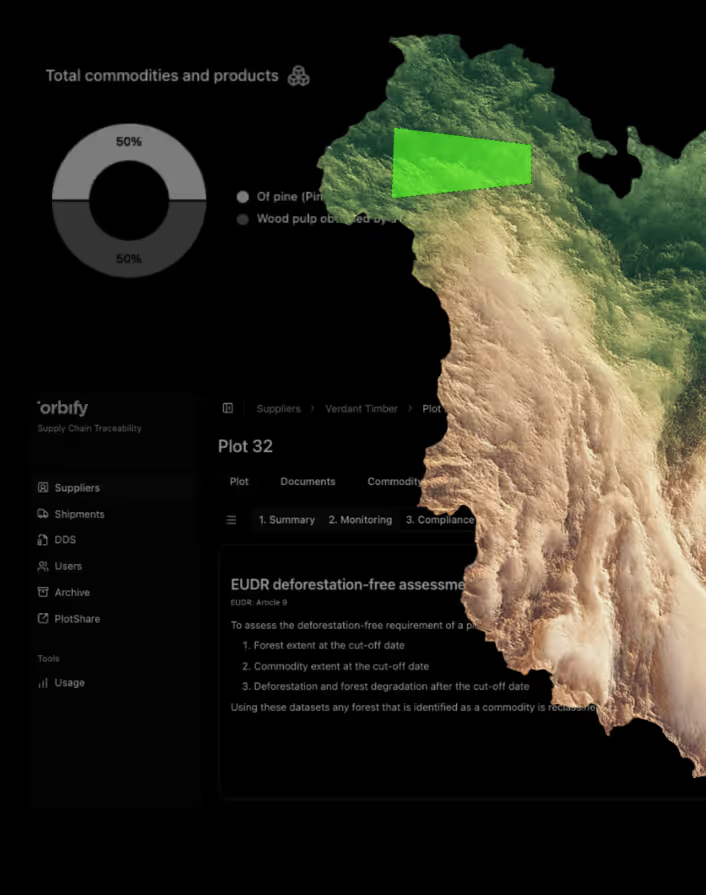
against satellite records for clearance after 31 December 2020

Risk assessment

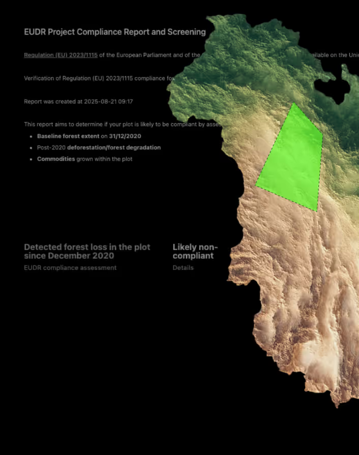
produced automatically, with the reasoning attached

Statements filed

to TRACES, with reference numbers and records retained for five years
Black filled circle on a white background.
How it works

How partners get up and running

Your clients, your market, how you want to package and price it.
Platform access, and technical onboarding where you need it.
You deliver and support. We keep the compliance engine current.
Book a Demo
Black filled circle on a white background.
FAQ

Frequently Asked Questions

Do we deliver Orbify, or does Orbify work with our clients directly?

You deliver it. You hold the client relationship, the contract and the support. Orbify is the platform underneath.

Can we deliver it under our own brand?

Yes. A white-label option is available.

How do we price it for our clients?

Your pricing, your model. We settle terms together at the start; after that you package it however fits your clients.

Do we need geospatial expertise on our team?

No. That's exactly the part Orbify provides.

Can we build it into our own product and/or ERP?

Yes. REST API and webhooks, with ERPs (e.g. SAP, Microsoft Dynamics via middleware)

Which commodities are covered?

All seven in scope: cattle, cocoa, coffee, oil palm, rubber, soya and wood.

What geolocation data does EUDR actually require?

Every plot of land where the commodity was produced must be geolocated. Plots under 4 hectares may be given as a single latitude and longitude point. Plots of 4 hectares or more must be submitted as polygons.

Do the suppliers need an Orbify account or GIS software?

No. Suppliers receive a secure link and submit their plot geolocation through it. They do not create an account, install anything, or need GIS expertise. Data can be uploaded as GeoJSON, CSV or KML, or entered directly. Validation runs at the point of collection, so geometry and format errors surface before they reach your compliance file.

What support do we get?

Support is shaped around how you work. onboarding for your team, help preparing for client conversations, and a direct line when something needs answering quickly. Your clients hear from you; we make sure you have what you need to answer them.

Still having questions? Talk to us
Black filled circle on a white background.
Overview

Ready to simplify EUDR Compliance?

Orbify gives you a complete EUDR solution to deliver: plot data, satellite verification and TRACES filing